- Home
- FARMONAUT – PIONEER IN SATELLITE BASED CROP HEALTH MONITORING SERVICES
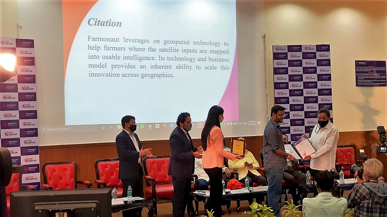
FARMONAUT – PIONEER IN SATELLITE BASED CROP HEALTH MONITORING SERVICES
INTERVIEW WITH MR. ANKUR OMAR, FOUNDER – FARMONAUT
by Prashant Kapadia/NHN
 Ankur Omar, is a graduate from BITS Pilani Goa (2016) with B.E. (Hons.) Electronics and Instrumentation. He has published multiple grant receiving single-authored IEEE research papers, one of which he presented at the Cambridge university back in 2015. He has been developing ag-tech solutions for the last 5 years and has co-founded two agri-tech companies : Farmonaut in 2019 and Kheti-X in 2020. Both the companies are bringing the latest technologies in terms of software and farm machinery in the reach of even the smallest farmer in India.
Akash Omar is a graduate from Kanpur University and worked within the education sector for 10 years. He has been developing business expansion plans for ag-tech solutions for the last 5 years and has co-founded two agri-tech companies : Farmonaut in 2019 and Kheti-X in 2020. Both the companies are bringing the latest technologies in terms of software and farm machinery in the reach of even the smallest farmer in India.
1. Tell us about Farmonaut and how the idea of Farmonaut incubated.
Farmonaut started in 2018 with a vision to bridge the technological gap between farmers and bring the latest state-of-the-art technologies in the hands of each and every farmer in the most cost-effective way.
When I experienced technology contributing to the agricultural sector first hand while studying Telecommunications at Polytechnic University of Catalonia, Barcelona, the only thought that loomed large in my head was, ‘Why not in India?’. This idea that was planted in December 2017, grew into what is now known as Farmonaut today.
 2. Give us a brief about products/ services offered by Farmonaut.
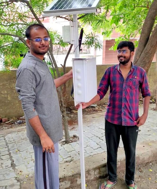
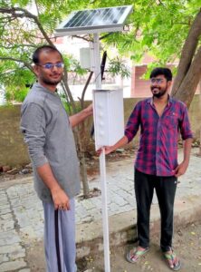
We provide satellite based crop health monitoring services as well as field mapping services to farmers and business partners through our own platforms, API and website linking options, wherein, farmers/business partners can select fields on the Farmonaut platform (android, iOS or web app) and identify the regions of the fields at which the crop growth is not normal through satellite data. Business Partners can also integrate their existing platforms with our API to provide our satellite data to their existing user base. A Farmer can apply fertilizers, chemicals, insecticides, pesticides, plant growth regulators etc. only in those areas where the crop growth is not normal. Apart from this, farmers also receive vegetation water stress, evapotranspiration and soil organic carbon data as well every 3-5 days through satellites on top of the weather forecast data from the nearest weather station. We also have the capabilities to provide uninterrupted crop health satellite data even during cloudy weather through synthetic aperture radar (SAR) sensors.
We have made geotagging farmer fields more streamlined and a faster process. Our interconnected app ecosystem facilitates our clients to map fields through our android app and monitor, manage, and access data of the mapped fields through our robust and advanced web-app. This interoperability is a game-changer for organizations that find it difficult to map and manage fields at a faster pace. On top of this field mapping, our advanced app ecosystem will provide the latest and continuous satellite data of all the mapped fields to the users to help them take farm-level actions well in advance.
 3. How are these products/services helping Farmers to have better crop yield, especially in India where the per-acre landholding is small in comparison to other countries in the world?
Farmonaut is not only using geospatial technology to give a detailed report out of the data pointers related to fields but also helping farmers to cut down on the investment required for healthy crop yield, and eventually enabling them to increase the yield.
Even for a small scale farmer, the cost of 1 month of satellite monitoring is less than what one bottle of fertilizer/chemical costs.
An Indian farmer, on average, spends between Rs. 41500 (550 USD) to Rs. 332000 (4300 USD) annually on each hectare of arable land. By using highly processed remote sensing results on Farmonaut, a farmer can save approximately 30% of the expense on chemicals, insecticides, pesticides, plant growth regulators, etc.
4. What are the underlying technologies used by Farmonaut to deliver actionable insights for crop monitoring?
Since decades, researchers have been strongly claiming and have proved that remote sensing can improve a farmer’s productivity tremendously. Observing field changes through specialized sensors from space can reveal field information that is not perceivable through the human eye and can help them take preventive actions and manage field related jobs in a much easier way. The easiest way to understand precision agriculture is to think of it as everything that makes the practice of farming more accurate and more defined when it comes to the growing of crops and raising livestocks as well. One of the key components of this farm management approach is the use of information technology and a wide array of items such as GPS guidance, sensors, variable rate technology, GPS-based soil sampling and most importantly a software component to help unify all these components.
It can help us determine everything from what factors may be stressing a crop at a specific point to estimating the amount of moisture in the soil. This kind of data enriches decision-making on the farm.
6. How Farmonaut sees the future of leveraging technologies such as Machine Learning, Artificial Intelligence, and Big Data in precision agriculture?
Farmonaut is already using all these cutting-edge technologies to provide detailed information about important crop parameters and environmental influences embedded within a single image available on the platform as a Hybrid Image.
Farmers can assess meaningful data of 7 different satellite images into a single image and take farm level actions at even faster rates. With this proprietary developed image type, farmers get information about :
1. Locations with good crop health and water stress
2. Locations with bad crop health
3. Locations with bad water stress
4. Locations affected by clouds
all this information embedded within a single image.
Users who want the high-level analysis (NDVI, NDRE, EVI, VARI, NDWI etc.) can switch to the advanced version of the app just by a tap on the screen. Now we are sure, with time our farmers will be gaining more insights on using the technological advances in the agriculture industry and benefit the most out of it. The technology for sure is going to evolve and we will touch some unidentified aspects of ML and AI.
Website: http://farmonaut.com
Web-App:http://farmonaut.com/web-app
Android: https://play.google.com/store/apps/details?id=com.farmonaut.android
iOS: https://apps.apple.com/us/app/farmonaut/id1489095847
API: https://farmonaut.com/farmonaut-satellite-weather-api-developer-docs/
Contact No: +91-6366026267